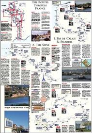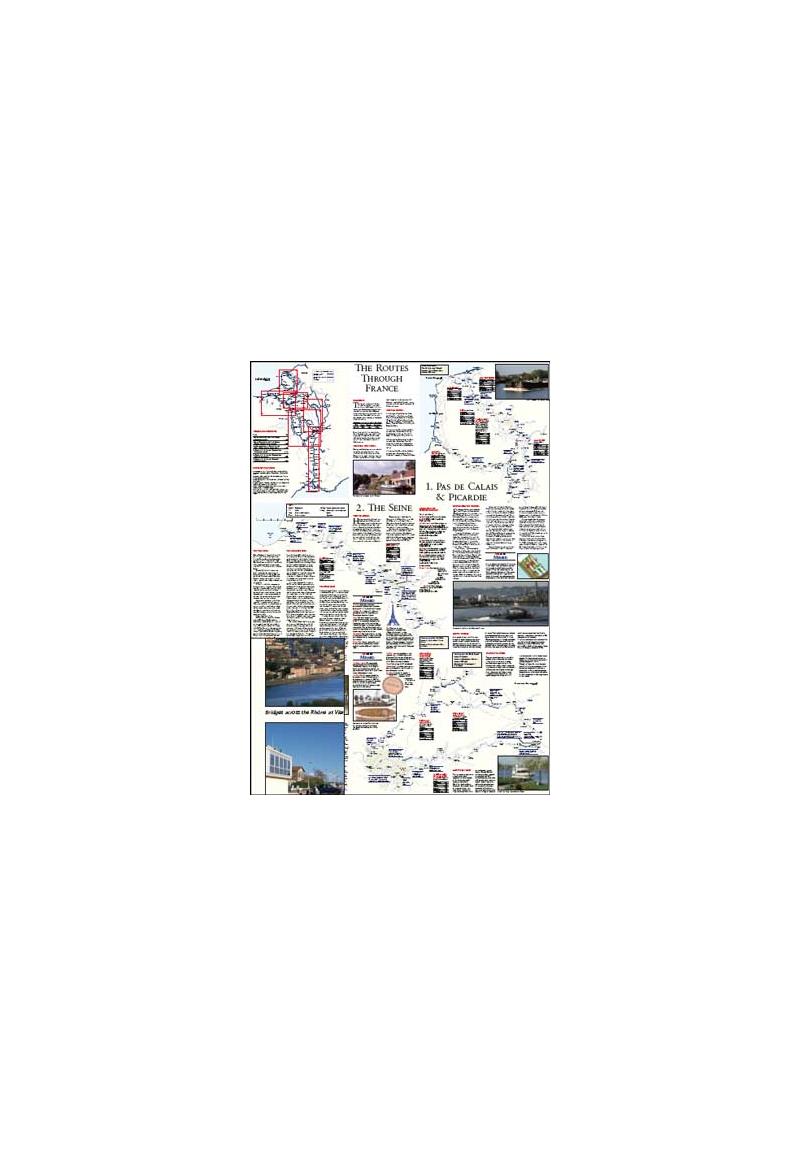
This pictorial map has been designed for
boats making the passage from the English
Channel to the Mediterranean through the
French canals.
Broken into clear geographical areas, the
mapping is annotated with Jane
Cumberlidge’s text which describes the
routes, provides vital canal dimensions and
distances, long-stay mooring places and
also notes some of the waterway features.
This attractive publication includes
photographs set against the full colour
mapping. Some of the issues involved in
making a passage through France,
(overwintering, choices
of route, cruising in
winter, useful
equipment and
organising the cruise)
are also discussed.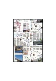